Kryvond TerraVision
A planned computer-vision layer for segmenting optical and SAR imagery to map infrastructure and land-use change.
Geospatial AI. Orbital Physics. Real-Time Earth Observation.
Kryvond is developing a platform to bring multi-spectral satellite imagery, synthetic aperture radar, and orbital telemetry together for infrastructure monitoring, climate nowcasting, and orbital analytics.
Kryvond Space · product film
Our vision for planetary-scale geospatial intelligence
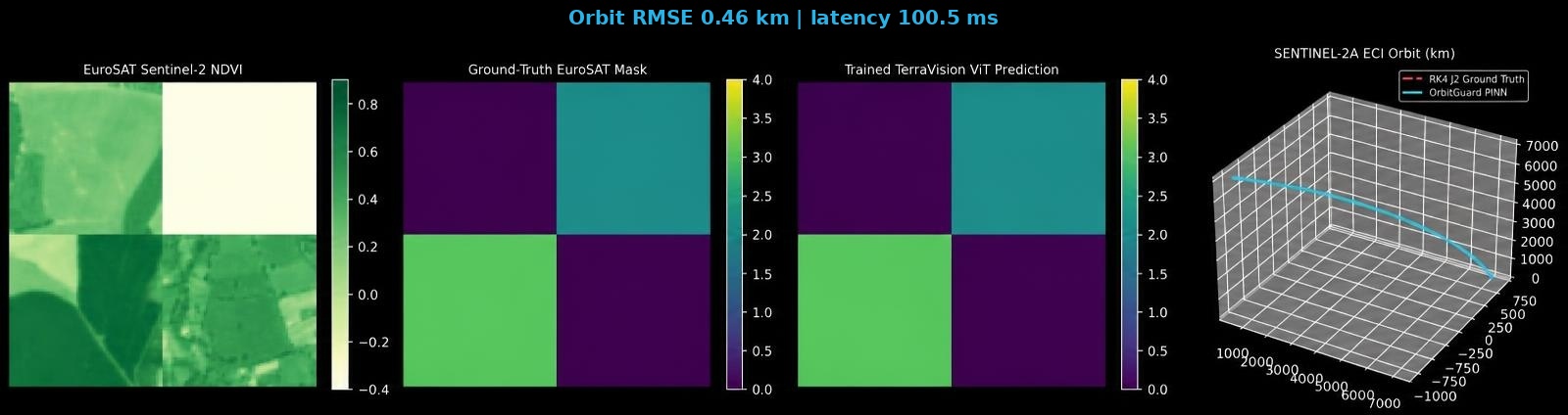
TerraVision · geospatial inference
Sentinel-2 segmentation & OrbitGuard telemetry visualization
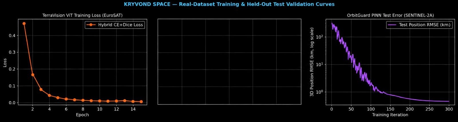
Model development · training & validation
TerraVision training loss, test metrics & OrbitGuard error decay
Platform concept
A planned cloud-native platform for spatial data ingestion, physics-informed modeling, and predictive insights.
A planned computer-vision layer for segmenting optical and SAR imagery to map infrastructure and land-use change.
A research direction for high-resolution flood, storm, and renewable-energy grid nowcasting with physics-informed models.
A planned orbital-physics module for debris trajectory simulation and conjunction-risk analysis.
An intended path to geospatial inference APIs and edge deployment for autonomous systems and ground stations.
About Kryvond Space
Kryvond Space is a space-tech project under Kryvond, a technology company building products and communities across hackathons, tech events, and deep-tech ventures. It explores foundation models for Earth observation and orbital analytics. The long-term vision is to transform satellite imagery and telemetry into useful spatial intelligence for energy, cities, climate resilience, and aerospace.
Member, NVIDIA Inception — approved November 2026
Explore planned use casesTechnical collaboration
Discuss platform access, research collaboration, or an early technical demonstration as the product takes shape.
Schedule a Technical Demo